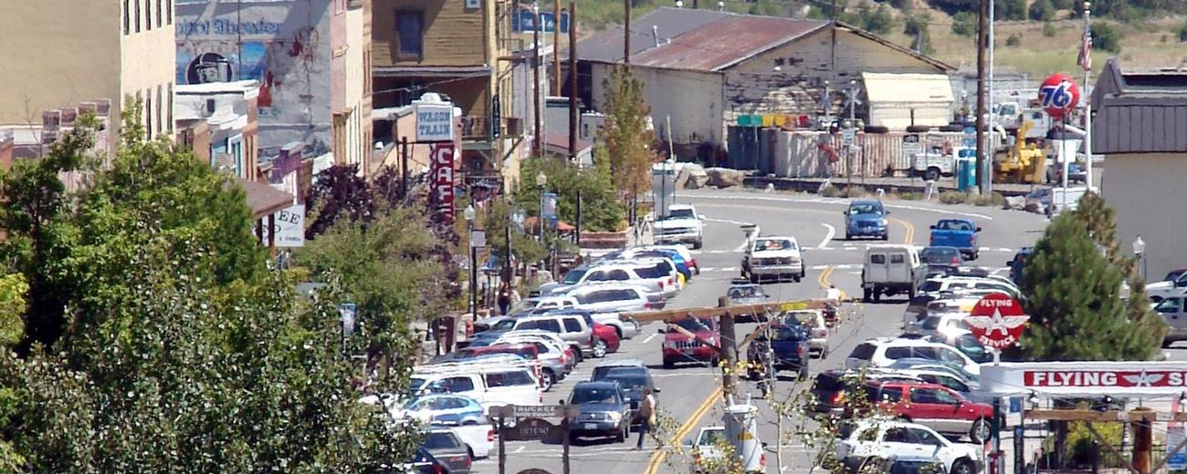
Transportation information for Truckee is provided below. Travel information includes driving directions, maps, airport information and more.
Public Transportation
Truckee is an Amtrack stop, which provides visitors with easy rail links on to major cities like Sacramento and San Francisco. The station is downtown, at 10000 East River Street.
Airports
The Reno-Tahoe International Airport is the closest major airport, about a half-hour away. Also serving the Truckee area is the Truckee Tahoe Airport, a small community airport at the edge of town.
Map + Directions
Basic Directions
Truckee is along I-80 and situated on Route 89. Truckee is about 31 miles west of Reno and about 12 miles north of Lake Tahoe.


