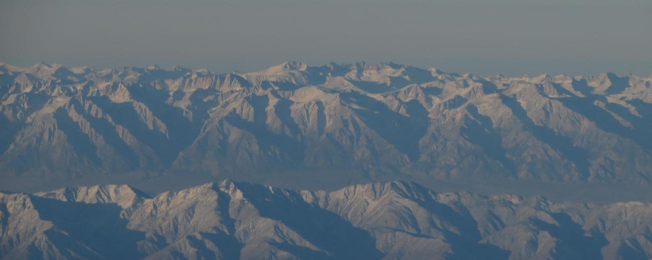
The Sierra Nevadas extend some 400 miles north to south across the state of California. Take the time to read through the tabs below to gain a better understanding of the different regions within California's Sierra Nevada mountains.
Overview
The Sierra Nevada extend from Lassen Peak in the north (near Lassen Volcanic National Park to Tehachapi Pass in the south, east of Bakersfield, some 400 miles. The mountains are steep on the eastern side, falling quickly past the California border in the to Great Basin of Nevada, with a more gradually slope on the west side where they meet the central California valley.
Northern Sierra Nevada
At its northern extreme, the range meets the Cascades in the vicinity of Lassen Volcanic National Park. Scenic rivers descend from the highlands into the valley, several of them with national Wild & Scenic designations. East along the Nevada border is Lake Tahoe. Several major roads cross the tamer mountains here, including Interstate 80.
Sacramento is the nearest big city to the northern Sierra Nevada, with the foothills being about an hour's drive to the north and east. Other area cities including Yuba City, Redding, Paradise, and Chico.
Central Sierra Nevada
Yosemite National Park is the jewel of the central Sierras, with its picture-perfect granite domes and peaks. This is one of the most highly visited national parks in the country; fortunately, there's plenty of other places to explore. Mono Lake and the Mammoth Lakes on the range's eastern slope are scenic destinations, and the dramatic peaks in this region are great for climbing and hiking.
Southern Sierra Nevada
At its southern end the Sierras reach their loftiest heights, capping out with Mt. Whitney, the highest peak in the lower 48 states at more than 14,400 feet above sea level. This area is also home to the Giant Sequoia trees, among the largest living things in the world. Sequoia and Kings Canyon National Parks, along with surrounding national monuments, state parks, and wilderness areas, protect the natural resources of this place of giants.


