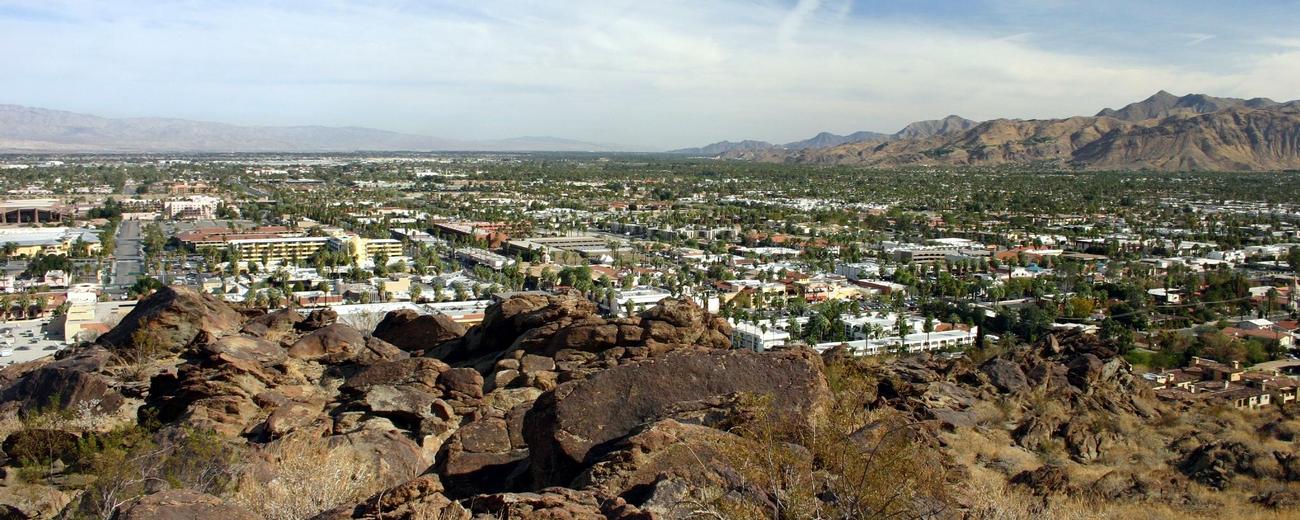
Transportation information for Palm Springs is provided below. Travel information includes driving directions, maps, airport information and more.
Transportation Services
Desert Valley Shuttle
- North Palm Springs
- Transportation Services
- 800-413-3999
Airports
Oxnard (pop. 180,000) is a growing coastal town west of the San Fernando Valley, known for its uncrowded beaches and easy access to Channel Islands National Park. With its rambling coastal homes, collection of museums, and popular annual festivals celebrating food and history, Oxnard feels like a snapshot of an earlier, forgotten California.
The surrounding Ventura County area is home to a surprising variety of terrain: mountains, forests, seashore, and farmlands are all within miles of each other. Ventura is the other major nearby city, but smaller towns like Thousand Oaks, Ojai, and Simi Valley are popular places to visit or stay. The pleasant surroundings, agreeable climate, and easy access to the L.A. area make Oxnard and Ventura County ideal locations for those who want to keep one foot in urban life and another in nature.
Oxnard is located on the southwest California coast, about 35 miles east of Santa Barbara and 60 miles northwest of Los Angeles.
Palm Springs International Airport
- 2 miles E from Palm Springs
- PSP
- Public
- 760-318-3800
Map + Directions
Basic Directions
Palm Springs is located in south central California along I-10. Coming from the coast area, take the California 111 turnoff into the city. Palm Springs is about a two hour drive from Los Angeles or San Diego, traffic permitting.


