


Weather information for the Lassen Volcanic NP area is provided below. Average temperatures, climate details and current forecasts are included!
Climate
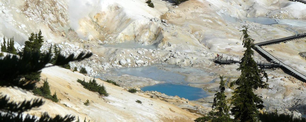
Lassen National Park is very much an alpine park and the weather reflects this. Below 7,500 feet elevation, the summers are mildly warm and the winters are cool to cold. Rise above this elevation and the winters become harsh and the summers cool. Precipitation in Lassen is quite high - in fact, the area around the park's Lake Helen is possibly the snowiest place in California.
| Jan | Feb | Mar | Apr | May | Jun | Jul | Aug | Sep | Oct | Nov | Dec | ||
| Avg. High | 42 | 46 | 51 | 59 | 68 | 76 | 84 | 84 | 77 | 66 | 50 | 42 | |
| Avg. Low | 20 | 23 | 26 | 29 | 35 | 42 | 46 | 44 | 39 | 32 | 26 | 21 | |
| Precipitation | 5.9 | 5.6 | 4.9 | 2.0 | 1.6 | 0.8 | 0.4 | 0.4 | 0.9 | 2.0 | 3.8 | 4.6 | |
Live weather is currently unavailable.
Please visit weather.gov for current and forecasted weather.
Overnight
Snow Showers Likely
Thursday
Snow Showers
Thursday Night
Widespread Frost
Friday
Widespread Frost then Sunny
Friday Night
Mostly Clear
Saturday
Sunny
Detailed Forecast |
|
|---|---|
| Overnight | Snow showers likely. Mostly cloudy, with a low around 21. North northwest wind around 1 mph. Chance of precipitation is 70%. New snow accumulation of 1 to 2 inches possible. |
| Thursday | Snow showers before 3pm. Mostly cloudy. High near 31, with temperatures falling to around 29 in the afternoon. North northwest wind 1 to 7 mph. Chance of precipitation is 80%. New snow accumulation of 1 to 3 inches possible. |
| Thursday Night | Widespread frost after 7pm. Partly cloudy, with a low around 15. North wind around 5 mph. |
| Friday | Widespread frost before 9am. Sunny, with a high near 38. North northeast wind around 3 mph. |
| Friday Night | Mostly clear, with a low around 20. East northeast wind around 2 mph. |
| Saturday | Sunny, with a high near 46. |
| Saturday Night | Widespread frost after 7pm. Mostly clear, with a low around 23. |
| Sunday | Widespread frost before 8am. Mostly sunny, with a high near 42. |
| Sunday Night | Widespread frost between 1am and 5am, then a slight chance of snow showers. Partly cloudy, with a low around 25. |
| Monday | Snow showers likely. Partly sunny, with a high near 42. New snow accumulation of less than half an inch possible. |
| Monday Night | Snow showers likely. Mostly cloudy, with a low around 24. New snow accumulation of 1 to 2 inches possible. |
| Tuesday | Snow showers. Mostly cloudy, with a high near 35. New snow accumulation of 10 to 14 inches possible. |
| Tuesday Night | Snow showers. Cloudy, with a low around 22. New snow accumulation of 28 to 34 inches possible. |
| Wednesday | Snow showers. Cloudy, with a high near 27. New snow accumulation of 26 to 32 inches possible. |