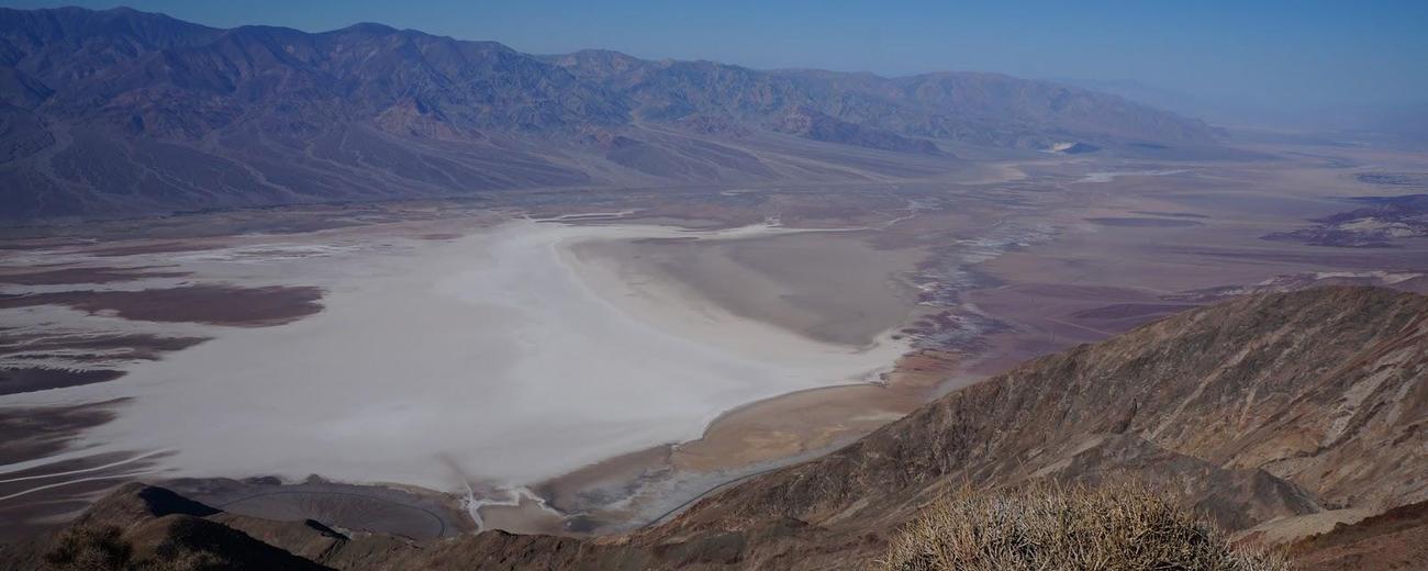
Transportation information for Death Valley NP is provided below. Travel information includes driving directions, maps, airport information and more.
Transportation Services
Southwest Adventure Tours
- National Park Tours, Hiking, Sightseeing and Transportation Services
- Transportation Services
- 435-590-5864
Airports
There is a small public airport at Furnace Creek. The nearest commercial airport is Inyokern Airport near Ridgecrest, southwest of the park, with daily flights to Los Angeles. On the Nevada side, Las Vegas-McCarran International Airport is about an hour's drive from the park's east entrance.
Map + Directions
Basic Directions
California Highway 190 transects Death Valley National Park from east to west. On the east in Nevada, U.S. Route 95 parallels the park from north to south with connecting highways at Scotty's Junction (State Route 267), Beatty (State Route 374), and Lathrop Wells (State Route 373). South of the park, Interstate 15 passes through Baker, California on its way from Los Angeles to Las Vegas. State Route 127 travels north from Baker to Shoshone and Death Valley Junction with connections to the park on State Route 178 from Shoshone and connection with California Highway 190 at Death Valley Junction.
Death Valley National Park is about 220 miles north of Los Angeles, and 460 highway miles east of San Francisco.


